Hiking in Armenia: Trails, Parks and the Transcaucasian Trail
Recommended
Book a guided tour
These are the most-booked options — prices start from the amount shown. Free cancellation on most.
Contents
- When to Go
- Dilijan National Park
- Key Trails
- Logistics
- Khosrov Forest State Reserve
- Key Trails
- Getting There
- Gegham Mountains (Geghama Lernapar)
- Key Routes
- The Transcaucasian Trail in Armenia
- Recommended TCT Segments for First-Time Visitors
- Difficulty Levels and Safety
- Guided Tour Operators
- Gear Checklist
- See Also
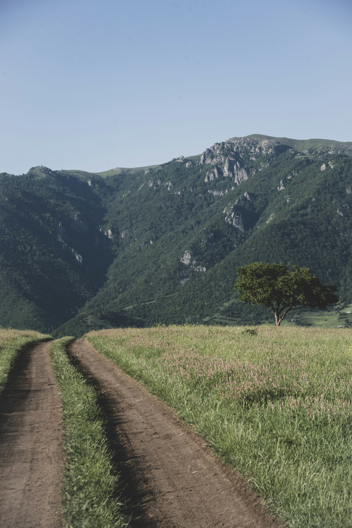
Armenia has more than 3,000 metres of altitude range within its borders, a mosaic of climate zones, and a network of trails that connects medieval monasteries, volcanic highlands, dense forests, and canyon landscapes. Hiking infrastructure has improved significantly since the Transcaucasian Trail (TCT) project began marking routes in the mid-2010s. This guide covers the main areas, difficulty levels, and practical information for planning a hiking trip. For the best months to hike, see our best time to visit Armenia guide.
When to Go
The main hiking season runs June through October. Snow lingers on high passes (above 2,500 m) into mid-June and returns by late October. July and August are the driest months but can be hot below 1,800 m. September is widely regarded as the best single month: temperatures are moderate, the landscape is golden, and fruit harvests are in full swing in roadside villages.
April and May offer wildflower coverage and cooler temperatures but trails at altitude are often soft or icy. November onwards brings snow and unpredictable mountain weather.
Dilijan National Park
Dilijan is Armenia’s most accessible forest hiking area, a 240 sq km protected zone in the Tavush region, approximately 100 km north of Yerevan. Dense deciduous woodland — oak, hornbeam, beech, wild cherry — covers the hills, and streams run through shaded gorges. For the town itself and where to stay, see our Dilijan guide.
Key Trails
Haghartsin–Goshavank Forest Walk (medium, 12 km one-way): Links two medieval monastery complexes through the forest. Elevation gain is modest. The route passes woodland clearings and small streams. Most hikers take a taxi to one end and walk the other direction. Allow 4–5 hours.
Dilijan–Pambak Ridge (hard, 18 km): A full-day ridge walk with views across the Tavush and Lori valleys. The ascent to the Pambak ridge takes 3–4 hours. Navigation requires a GPS track or guide; trail marking is inconsistent above the treeline.
Jukhtak Forest Loop (easy, 6 km): A well-marked loop from Dilijan town, suitable for families and less experienced walkers. Elevation change is minimal. Signage is in Armenian and English.
Logistics
Dilijan is a 1.5-hour marshrutka (shared minibus) ride from Yerevan (Northern Bus Station). Regular departures from approximately 8am throughout the day. Fare approximately AMD 1,500 (roughly USD 4). Accommodation ranges from guesthouses charging approximately AMD 10,000–15,000/night (roughly USD 25–38) to higher-end eco-lodges at AMD 35,000–60,000/night (roughly USD 90–155).
Khosrov Forest State Reserve
Established in the 4th century AD by King Khosrov II, Khosrov Forest is one of the oldest protected areas in the world. It covers 240 sq km in the Ararat region south of Yerevan, characterised by steep gorges, open steppe plateau, juniper stands, and dramatic canyon walls.
Entry to the reserve requires a permit obtained from the Protected Areas office in Yerevan or at the reserve entrance. Fee approximately AMD 2,000 per person (roughly USD 5) as of 2026.
Key Trails
Azat River Gorge Trail (medium, 8 km round trip): Follows the Azat River canyon with views of the sheer volcanic rock walls. The Havuts Tar monastery ruins sit partway along the route, reachable after a 3–4 hour walk. No facilities inside the reserve; carry all water and food.
Garni–Khosrov Traverse (hard, 2 days): A two-day traverse starting at Garni Temple (itself a day-trip destination from Yerevan) and entering the reserve from the north. Requires a guide or strong navigation skills; the route crosses unmarked ridges. Arrange permits in advance.
Getting There
No direct public transport reaches the reserve interior. Day trips from Yerevan typically involve a hired taxi or private car. Distance from Yerevan is approximately 45 km south; journey time approximately 1 hour. Agree a return pickup time with the driver.
Gegham Mountains (Geghama Lernapar)
The Gegham range is a dormant volcanic plateau stretching between Lake Sevan and the Ararat valley. At its highest point, Mount Azhdahak stands at 3,597 m. The landscape is unlike anything else in Armenia: lunar basalt fields, crater lakes, and high-altitude meadows used for summer grazing.
Key Routes
Azhdahak Summit Ascent (hard, 8–10 hours round trip): The standard approach starts from the village of Geghadir (accessible by dirt road from the Sevan–Yerevan highway). The ascent crosses open plateau with significant wind exposure. A glacial crater lake sits just below the summit. No technical equipment required in summer but a GPS track is essential. Recommended fitness level: regular hikers comfortable with 1,200 m elevation gain.
Gegham Petroglyphs Circuit (medium, 6 km): A lower-altitude loop visiting Bronze Age petroglyphs carved into volcanic rock. The petroglyphs are well-preserved and include images of deer, goats, hunting scenes, and solar symbols. Best accessed from the village of Lchashen on the western Sevan shore.
The Transcaucasian Trail in Armenia
The Transcaucasian Trail (TCT) is a long-distance hiking trail being developed across Georgia, Armenia, and Azerbaijan. The Armenia section passes through four regions and covers approximately 1,000 km when complete.
As of 2026, the most consistently marked and maintained segment runs through Dilijan National Park and the Tavush region. The TCT Armenia team maintains an online trail database at transcaucasiantrail.org with downloadable GPS tracks, section-by-section difficulty ratings, and updated conditions reports.
Recommended TCT Segments for First-Time Visitors
Dilijan to Ijevan section (4 days, moderate): Well-marked, passes through villages with guesthouse accommodation, and combines forest and open ridge sections. Starting point is accessible by marshrutka from Yerevan.
Lori Gorge section (3 days, moderate to hard): Follows the Debed Canyon area, passing near the Haghpat and Sanahin monasteries. Logistics require careful planning; accommodation is limited to basic homestays.
Carrying a printed map alongside digital tracks is recommended. Mobile data can be patchy in the Tavush and Lori gorge areas.
Difficulty Levels and Safety
Most Armenian trails are classified informally. As a general guide:
| Difficulty | Elevation Gain | Example Route | Experience Needed |
|---|---|---|---|
| Easy | Under 300 m | Jukhtak Forest Loop | None |
| Medium | 300–800 m | Haghartsin–Goshavank | Some fitness |
| Hard | 800 m+ | Azhdahak Summit | Regular hiking |
| Multi-day | Varies | TCT Dilijan–Ijevan | Camping/navigation skills |
Key safety points:
- Mountain weather changes rapidly above 2,000 m; carry a windproof layer even in summer
- Water sources exist on most routes but all should be treated or filtered
- Mobile coverage is limited in deep gorge areas; download offline maps before departing
- Inform someone of your route and expected return time on longer hikes
- Tick season runs April–October; check carefully after trails through long grass
Guided Tour Operators
Several Yerevan-based operators run guided hikes and can arrange multi-day trekking itineraries:
Ara the Explorer — specialises in TCT segments and off-trail routes; prices from approximately AMD 25,000 per person per day (roughly USD 64) for group hikes as of 2026.
Adventure Armenia — offers structured multi-day trekking packages including transport and accommodation; 4-day itineraries from approximately AMD 120,000 per person (roughly USD 308) in small groups as of 2026.
Envoy Hostel Tours (Yerevan) — runs budget-friendly day hikes with English-speaking guides; day hike prices approximately AMD 12,000–18,000 per person (roughly USD 31–46) including transport as of 2026.
Booking in advance is advisable for June–September, when demand is high. Off-season (May, October) rates are typically lower and group sizes smaller.
Gear Checklist
- Sturdy hiking boots with ankle support (trail runners adequate for easy–medium routes)
- Windproof and waterproof outer layer
- Sun protection: hat, sunscreen, lip balm (UV is intense above 2,000 m)
- Water (minimum 2 litres per day; filter or purification tablets for longer routes)
- Trail food for at least one extra day beyond planned duration
- Offline maps downloaded to phone (Maps.me or Gaia GPS with TCT tracks)
- Basic first aid kit
- Cash: villages and trailheads rarely accept cards
Armenia’s mountain landscapes reward the effort. Trails that western Europe would charge entrance fees for, and attach visitor centres to, are here accessible on a marshrutka fare and a day’s walking.
See Also
- Cycling in Armenia — for covering more ground on the same routes by bike
- Horseback Riding in Armenia — multi-day highland treks on horseback
- Lake Sevan — the Gegham Mountains and crater lake lie on the western shore
Ready to explore?
Browse hundreds of tours and activities. Book securely with free cancellation on most options.
Browse on GetYourGuide →We may earn a small commission — at no extra cost to you.